Looking for reliable survey services in Telanngana?

We provide topographic, GPS, and total station surveys for construction and land development.

WHEN IT NEEDS TO BE ACCURATE

A surveying theodolite set on a tripod outdoors in Dassa, Benin, ideal for civil engineering projects.

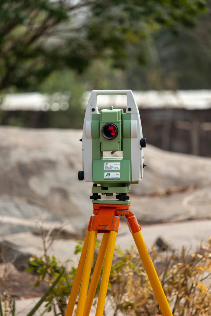
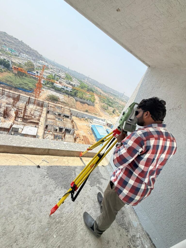
DGPS & Total Station Survey

Close-up of a person holding a map while hiking outdoors, emphasizing navigation and exploration.

Missing Property Detection
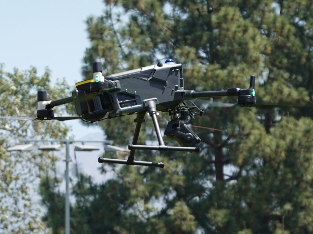
A modern drone flying outdoors showcasing advanced technology and design.

Drone Survey

Construction & Infrastructure

Mining & Aggregates

Agriculture & Forestry

Close-up of a private property no trespassing sign on a chain-link fence with greenery in the background.

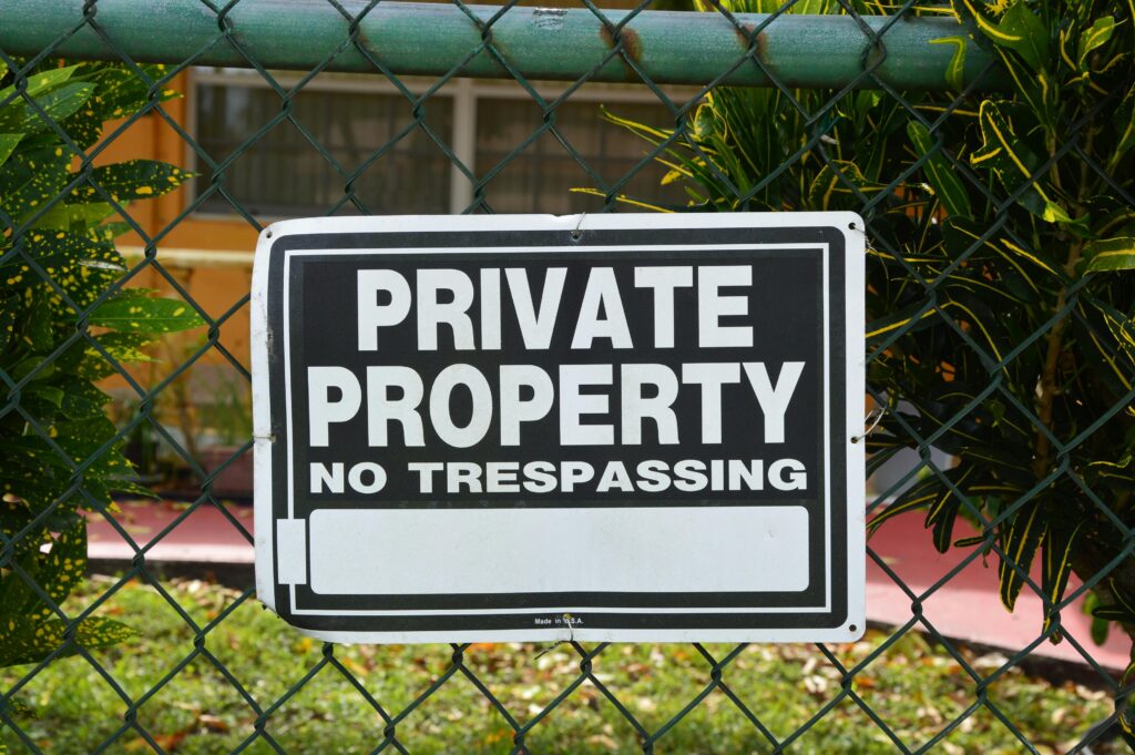
Property Demarcation

100% Legal & No Compliants

Centimeter-Level Accuracy


A sleek black quadcopter drone captured in mid-flight, demonstrating modern technology.

LIDAR Survey

High-Density Topographic Contours

Digital Terrain Models (DTM)

As-Built 3D Infrastructure Models

High Rise Building Survey


Expert land surveyors in Telangana offering precise topographic, contour and boundary surveys.


Get accurate digital mapping and DGPS services